
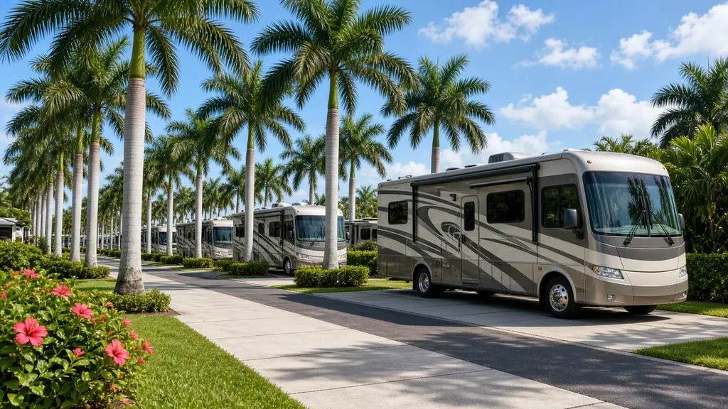
Titusville sits on the Indian River across from Kennedy Space Center and Cape Canaveral. On launch days, RVs line up at viewing areas along the river, and the campgrounds in and around town fill up. I-95 and US 1 run north-south through town, and SR 528 heads west toward Orlando.
Where we work
RV parks and campgrounds in Titusville, Mims and Port St. John. Parks on Merritt Island and around Cocoa. Launch viewing areas, within local parking rules. And I-95 exits.
What we see here
Launch-day waits. Launches slip, sometimes by hours, sometimes by days. RVs sit with fridges, fans and inverters running on battery. A weak bank doesn't last.
River and ocean salt. Corrosion is constant along the lagoon and the beaches.
Merritt Island traffic. Getting on and off the island takes time. Tell us your exact spot.
Services people ask for
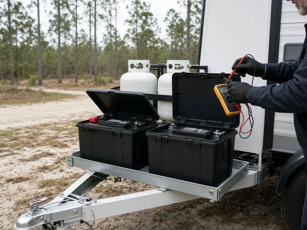
Lithium upgrades for launch watchers who want to run more on battery, battery testing and replacement.
Near the launch pads
Titusville looks across the Indian River to the Kennedy Space Center. Merritt Island National Wildlife Refuge and Canaveral National Seashore are next door. Manatee Hammock Campground, a Brevard County park on the Indian River south of town, has RV sites with a view of the river.
Launch crowds
Big launches can fill Titusville with visitors and traffic. If you're camped here for a launch and your RV won't start, tell us early. Roads can get backed up for hours.
Getting here
I-95 runs along the west side of town, and SR 528 (the Beachline) connects to Orlando to the southwest. Titusville is a common first stop for RVers coming down I-95 from the north.
Nearby
Daytona Beach to the north, Melbourne to the south, Orlando to the west.
Titusville on the map
Map of Titusville and nearby city pages
Outline: the State of Florida, our whole service area. Pins mark places with their own page, not offices. Map data © OpenStreetMap contributors; state boundary from U.S. Census Bureau data.