
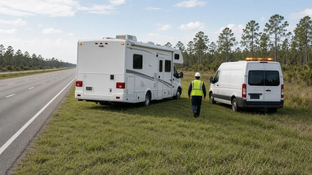
Interstate 75 enters Florida from Georgia near Jennings and runs down the middle of North Florida, through Tampa Bay and down the Gulf side to Naples, then turns east across the Everglades as Alligator Alley to the Fort Lauderdale area. In fall and spring it carries a steady stream of motorhomes and fifth wheels heading to and from winter parks.
Stretches we hear about most
Georgia line to Lake City. Long, rural miles. I-75 meets I-10 at Lake City, and a lot of RVs stop there to fuel and rest. See Lake City.
Gainesville and Ocala. Plenty of campgrounds within a short drive of the interstate, from Paynes Prairie to the Ocala National Forest area. See Gainesville and Ocala.
Wildwood and The Villages. The Florida Turnpike ends at I-75 in Wildwood, a big junction for RV traffic. See The Villages and Wildwood and our Turnpike page.
Tampa Bay. I-75 bypasses downtown Tampa to the east, passing near Zephyrhills, Brandon and Ruskin. See Tampa and Zephyrhills.
Sarasota to Naples. Heavy seasonal traffic and many RV resorts. See Sarasota, Fort Myers and Naples.
Alligator Alley. About 80 miles across the Everglades between Naples and Weston, a toll road with very few services. Fuel and charge up before you start across. If a battery fails out there, get to a safe spot and tell us your mile marker.
Rest areas and safety
Florida's I-75 rest areas are spaced along the route and are often the safest place to wait. If you are stopped on the shoulder, follow the steps on our roadside page: get far right, hazards on, stay away from the traffic side.
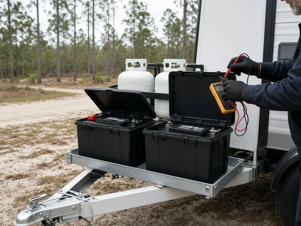
What we do on I-75
Jump starts, emergency battery replacement, and battery and charging tests, for motorhomes, fifth wheels, travel trailers and tow vehicles.
Cities and regions along this route
Where this highway meets our city pages
Map of Florida with city pages along this highway
Outline: the State of Florida, our whole service area. Pins mark places with their own page, not offices. Map data © OpenStreetMap contributors; state boundary from U.S. Census Bureau data.