
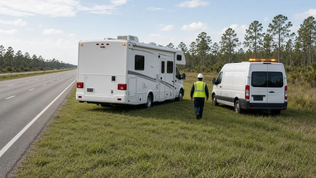
Lake City is small, but it sits at one of the most important crossroads in Florida: I-75 and I-10 meet just west of town. RVers heading south from Atlanta or east from the Gulf Coast all funnel through here, and a lot of them stop for fuel and a night's rest.
Where we work
Truck stops and fuel stations at the interchange. RV parks along US 90 and the interstate exits. O'Leno State Park on the Santa Fe River, south of town. Stephen Foster Folk Culture Center State Park in White Springs, on the Suwannee. Campgrounds around Live Oak and the Suwannee River. And I-75 north to the Georgia line.
What we see here
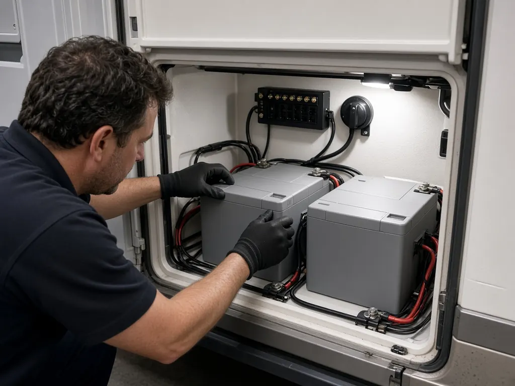
Travel-day failures. A battery that was weak when you left home often gives out after a long day of driving and a night on battery power. Morning no-starts at fuel stops are common.
Alternator issues. A long day of driving with a battery that won't start the next morning can point to a charging problem rather than the battery. We test the alternator and isolator before replacing anything.
Cold mornings. North Florida winters are cool enough to expose a weak chassis battery.
If you're stuck at an exit
Text us the exit number and the business you're parked at. If you're on the shoulder, follow the roadside safety steps first.
Campgrounds nearby
O'Leno State Park, south of Lake City, has a campground on the Santa Fe River. Stephen Foster Folk Culture Center State Park in White Springs has camping on the Suwannee. The Osceola National Forest is east of town.
The crossroads
Lake City is where I-75 and I-10 meet. A lot of RV traffic passes through, and a lot of our calls here come from the interstate.
Nearby
Gainesville to the south, Jacksonville to the east, Tallahassee to the west.
Lake City on the map
Map of Lake City and nearby city pages
Outline: the State of Florida, our whole service area. Pins mark places with their own page, not offices. Map data © OpenStreetMap contributors; state boundary from U.S. Census Bureau data.