
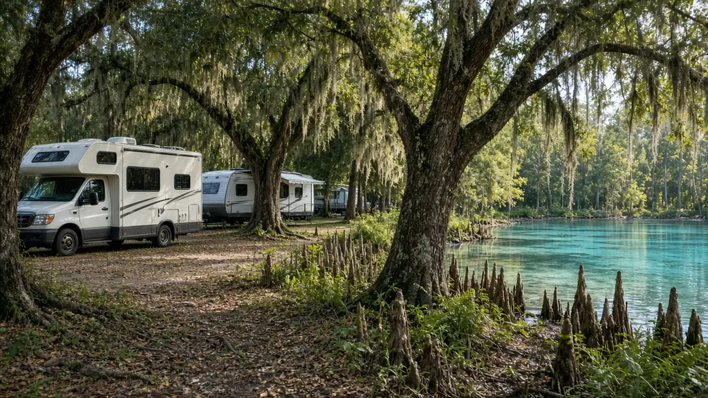
Tallahassee is Florida's capital and its biggest city between Jacksonville and Pensacola. For RVers it is a crossroads. I-10 runs across the north side of town, US 27 heads southeast toward the Nature Coast, and US 319 runs down to the coast at Carrabelle and St. George Island. Football weekends at Florida State and FAMU bring in RVs too.
Where we work
RV parks around the city and along I-10 exits. Campgrounds at Lake Talquin, in the Apalachicola National Forest and near the St. Marks area. Storage lots in Leon, Gadsden and Wakulla counties. And roadside calls along I-10 from Quincy to Monticello.
What we see here
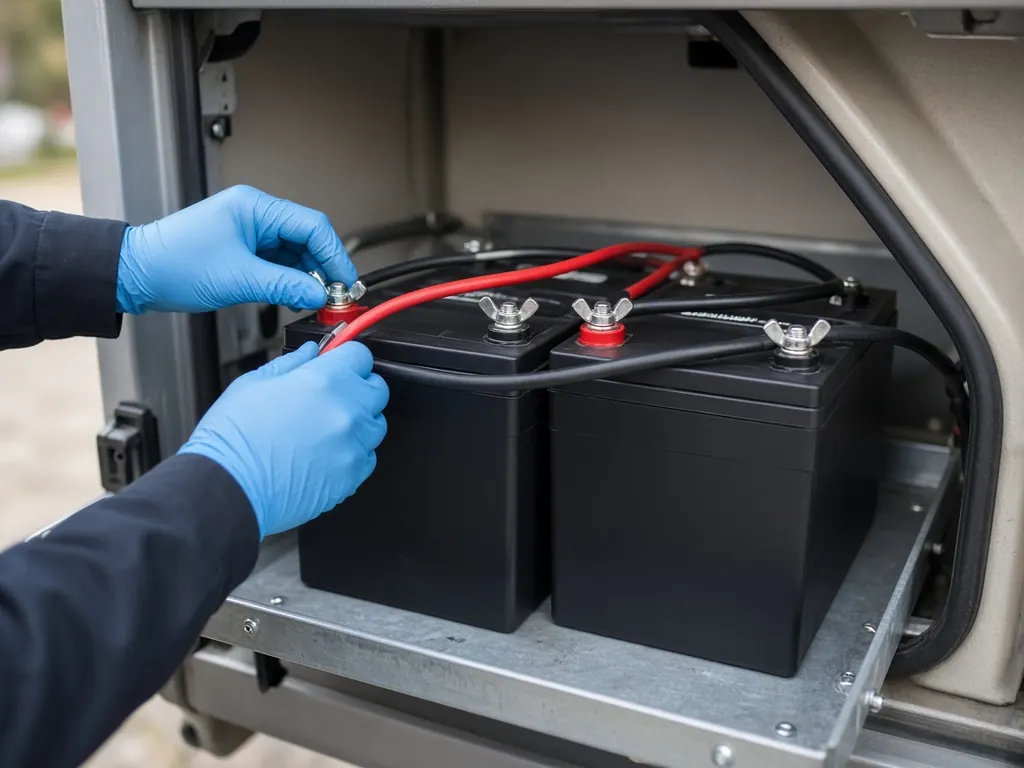
Real winters. Tallahassee is one of the colder places in Florida. Hard freezes happen most winters. Lead-acid batteries lose cranking power in the cold, and many lithium batteries should not be charged below freezing without low-temperature protection. If you have lithium, ask us about cold charging.
Game-day RVs. RVs that sit for a weekend on generators and batteries, then sit for weeks until the next game. That is a recipe for drained chassis batteries.
Rural miles. East and west of town, I-10 has long stretches between services. If you're having battery trouble in Madison or Jefferson County, tell us the mile marker.
Capital city, college town
Tallahassee is Florida's capital and home to Florida State University. Game days and legislative session bring visitors. Lake Talquin, west of town, has campgrounds and fish camps.
Cold mornings
Tallahassee gets real frost in winter. That is when weak chassis batteries fail. See RV won't start.
Nearby
Panama City Beach to the southwest, Lake City to the east. See the Panhandle page for every county.
Tallahassee on the map
Map of Tallahassee and nearby city pages
Outline: the State of Florida, our whole service area. Pins mark places with their own page, not offices. Map data © OpenStreetMap contributors; state boundary from U.S. Census Bureau data.