
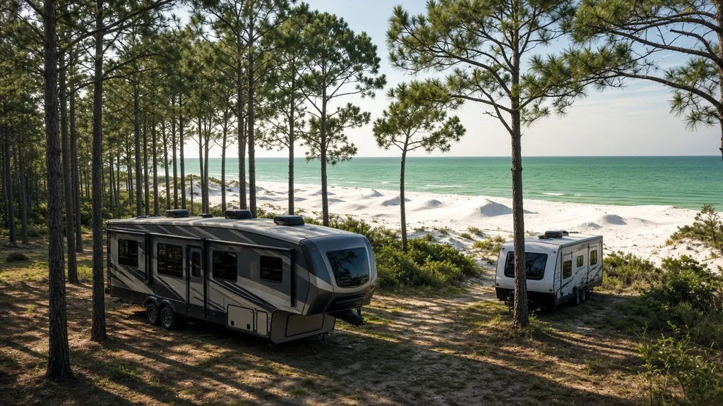
Interstate 10 crosses the whole top of Florida from the Perdido River at the Alabama line to Jacksonville. It is the main route for RVers arriving from Texas and the Gulf states. Much of it is rural, with pine forest on both sides and long stretches between exits with services.
Stretches we cover
Pensacola and Milton. The first Florida stop for many westbound travelers. See Pensacola.
Crestview to DeFuniak Springs. Exits lead south to Destin, Fort Walton Beach and the 30A beaches. See Destin and Fort Walton Beach.
Marianna and Chipola country. Rural Jackson County, close to the Georgia and Alabama lines.
Tallahassee. The state capital, with I-10 passing along the north side of the city. See Tallahassee.
Madison to Lake City. Quiet miles to the I-75 junction at Lake City. See Lake City.
Lake City to Jacksonville. Through Baker County and the Osceola National Forest area into Jacksonville. See Jacksonville.
Panhandle weather
The Panhandle gets real cold snaps in winter. Cold reduces a lead-acid battery's cranking power, which is when weak chassis batteries finally fail. Most lithium batteries also shouldn't be charged below freezing without built-in protection or heating. If you're heading west in January, read lithium vs AGM vs flooded.
Rural stretches
Because exits with services can be far apart, it is worth knowing your mile marker at all times. If a battery fails between towns, tell us the mile marker and direction and we will give you an honest arrival estimate.
Cities and regions along this route
Where this highway meets our city pages
Map of Florida with city pages along this highway
Outline: the State of Florida, our whole service area. Pins mark places with their own page, not offices. Map data © OpenStreetMap contributors; state boundary from U.S. Census Bureau data.