
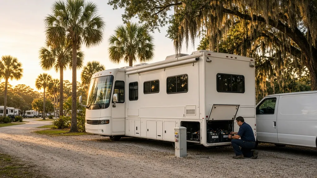
Jacksonville covers a lot of ground. It is the largest city by land area in the lower 48 states, and getting across it takes time. I-95, I-10 and the I-295 beltway carry RV traffic in every direction. Naval Station Mayport and NAS Jacksonville bring military families with RVs.
Where we work
Kathryn Abbey Hanna Park near Mayport, a city park with a campground near the ocean. Little Talbot Island State Park north of the St. Johns River. RV parks along I-95 north toward Yulee and south toward St. Augustine. Orange Park and Clay County storage lots. Fernandina Beach on Amelia Island. And every interstate exit in between.
What we see here
Arrival-day problems. For many snowbirds, Jacksonville is the first Florida stop after a long drive down I-95. Batteries that were borderline up north start failing in Florida heat.
Coastal corrosion at the Beaches and Amelia Island campgrounds.
Big distances. Because the city is so spread out, tell us your exact location and the nearest major road or exit.
Services people ask for
Chassis battery replacement after a no-start, house battery replacement, and mobile installation of batteries bought before the trip.
A big city, spread out
Jacksonville is the largest city by land area in the contiguous United States, so "Jacksonville" can mean a long drive. I-10 ends here at I-95, and I-295 loops around the city.
Campgrounds
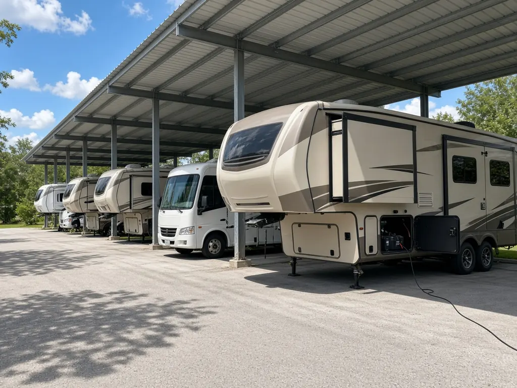
Kathryn Abbey Hanna Park, a city park near Mayport, has a campground by the beach. Little Talbot Island State Park, north of the St. Johns River, has camping too. Military families at NAS Jacksonville and Naval Station Mayport often store RVs for months during deployments.
Nearby
St. Augustine to the south, Lake City to the west. See Northeast Florida for all counties.
Jacksonville on the map
Map of Jacksonville and nearby city pages
Outline: the State of Florida, our whole service area. Pins mark places with their own page, not offices. Map data © OpenStreetMap contributors; state boundary from U.S. Census Bureau data.