
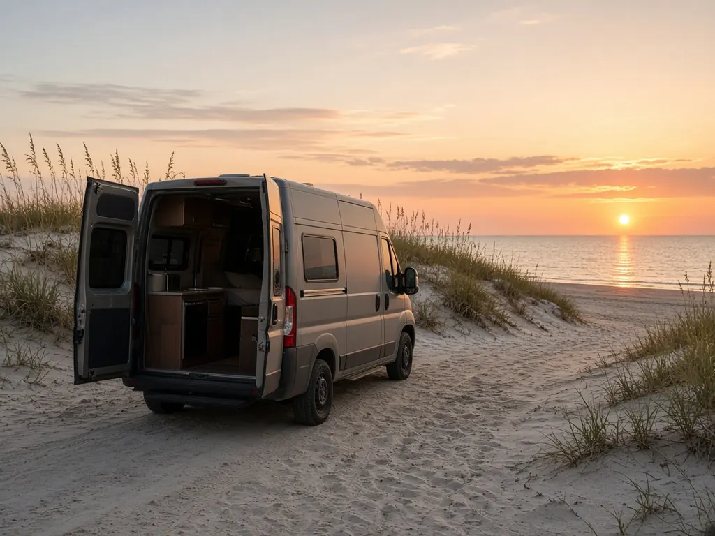
St. Augustine draws RVers for its history and its beaches. Anastasia State Park, on the island across the Bridge of Lions, has a campground behind the dunes. A1A runs south past Crescent Beach and Marineland to Flagler Beach, with campgrounds and RV parks along the way. I-95 runs a few miles inland.
Where we work
Anastasia State Park and the RV parks on Anastasia Island. Campgrounds along A1A to Flagler Beach. RV parks near the I-95 exits at SR 16 and SR 207. And storage around St. Johns and Flagler counties.
What we see here
Ocean salt. Many of these campgrounds sit right behind the dunes. Corrosion on terminals and cable ends is constant.
Old town parking. RVs parked for a day of sightseeing, with the fridge and fans running on battery, sometimes don't start when the owners get back. Tell us where you're parked and we will come to you.
Winter visitors. St. Augustine is busy with snowbirds who stay weeks or months.
Services people ask for
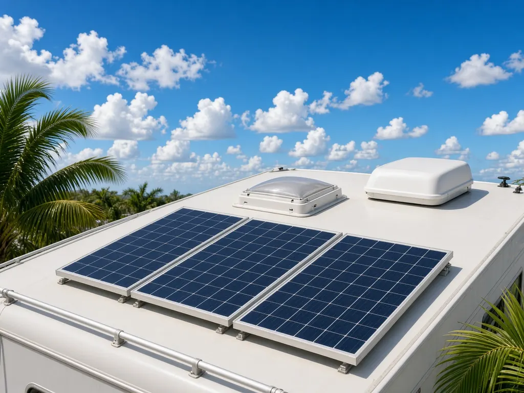
AGM batteries are popular for owners tired of checking water levels in salty compartments, and lithium upgrades for owners who camp at sites with limited power.
Campgrounds near the old city
Anastasia State Park, on Anastasia Island across the Bridge of Lions, has a campground near the beach. There are private RV parks along US 1, near I-95 and on A1A. St. Augustine is the oldest continuously inhabited European-founded city in the United States, and its historic district draws heavy tourist traffic.
Tight streets
The historic district has narrow streets and limited parking. If your RV won't start downtown, tell us exactly where you are so we can plan how to reach it.
Nearby
Jacksonville to the north, Daytona Beach to the south.
St. Augustine on the map
Map of St. Augustine and nearby city pages
Outline: the State of Florida, our whole service area. Pins mark places with their own page, not offices. Map data © OpenStreetMap contributors; state boundary from U.S. Census Bureau data.