
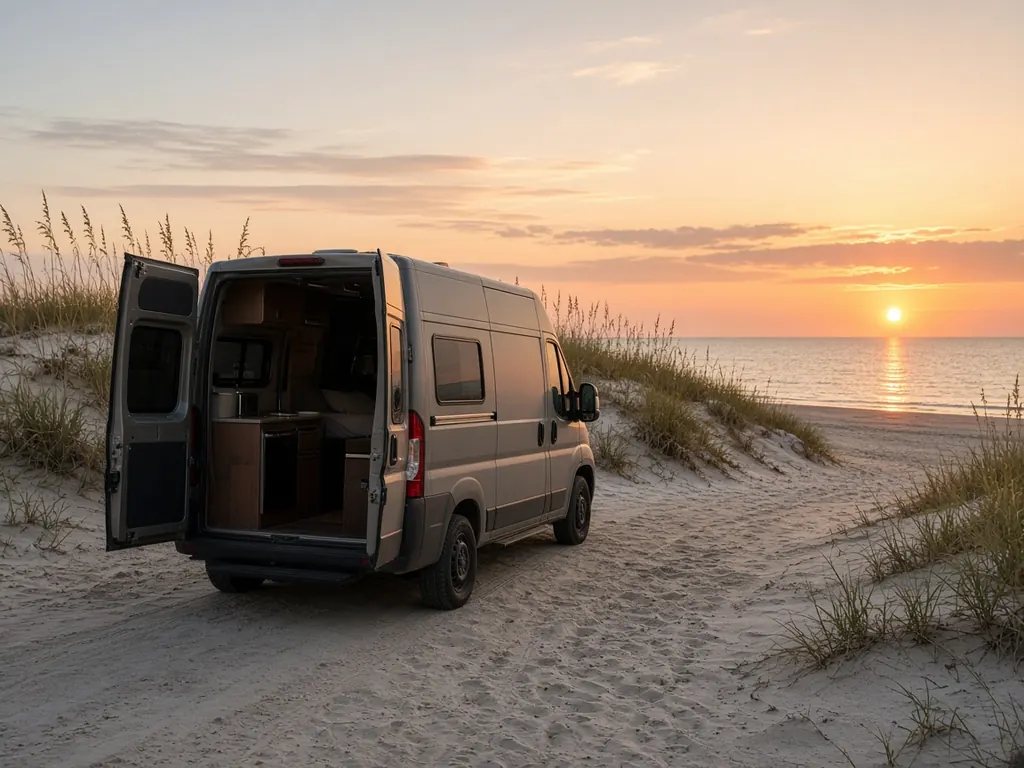
Naples sits at the southern end of Florida's Gulf coast. I-75 turns east here to cross the Everglades as Alligator Alley, and US 41, the Tamiami Trail, heads southeast to Everglades City and across to Miami. Collier-Seminole State Park, between Naples and Marco Island, has a campground. Big Cypress National Preserve, to the east, has campgrounds too.
Where we work
RV resorts around Naples and East Naples. Marco Island. Collier-Seminole State Park. Campgrounds and pull-offs along the Tamiami Trail. Immokalee and inland Collier. And the west end of Alligator Alley.
What we see here
Last stop before the Alley. Alligator Alley has very few services. If your batteries are giving you trouble, deal with it in Naples, not halfway across.
Everglades camping. Campgrounds in Big Cypress are remote and often without hookups. Heat and batteries don't mix well when you're dry camping.
Winter visitors in long-stay resorts.
Heat and season
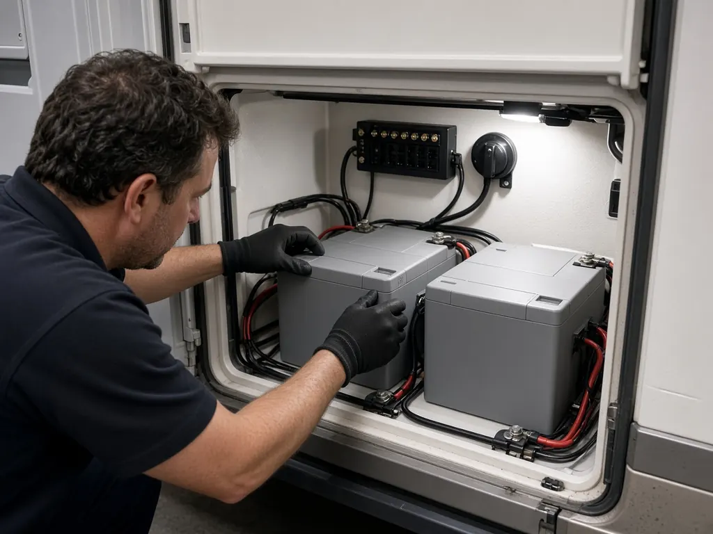
Naples has a long, hot summer and a busy winter season. Long-stay winter visitors often find their batteries weaker in March than they were in November. Converters that are old or set wrong are common culprits. See converters and lithium.
Remote Everglades camping
Big Cypress and the area around Everglades City are a long way from parts stores. If you plan to dry camp out there, make sure your house bank can carry you. Bank sizing walks through the math.
Nearby
Fort Myers to the north, Fort Lauderdale across Alligator Alley, Homestead via the Tamiami Trail.
Naples on the map
Map of Naples and nearby city pages
Outline: the State of Florida, our whole service area. Pins mark places with their own page, not offices. Map data © OpenStreetMap contributors; state boundary from U.S. Census Bureau data.