
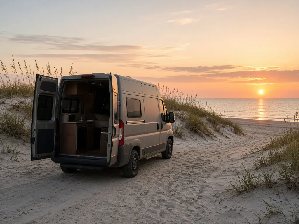
Sarasota County runs from Sarasota down through Osprey, Nokomis and Venice to North Port. Myakka River State Park, east of the city, is one of Florida's oldest and largest state parks, with campgrounds among the oaks and palms. Oscar Scherer State Park in Osprey has a campground too. I-75 and US 41 run the length of the county.
Where we work
Myakka River and Oscar Scherer state parks. RV resorts around Sarasota, Venice and Nokomis. North Port, along I-75. And storage lots county-wide.
What we see here
Snowbird season. Winter here is busy, and many RVs sit on shore power for months, then go into storage.
Myakka dry spells. Campers at the state park sometimes run on batteries more than they planned. See boondocking battery sizing.
Storm prep. This coast has seen major hurricanes. See hurricane season prep.
Sarasota-area campgrounds
Myakka River State Park, east of Sarasota, is one of Florida's largest state parks and has campgrounds. Oscar Scherer State Park in Osprey, south of town, has camping too. Private RV resorts are scattered along US 41 and near I-75, many with long-stay winter guests.
Winter season, summer heat
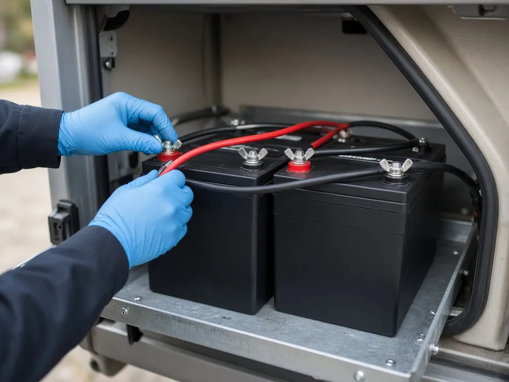
Sarasota fills up with winter visitors from about November through April. In summer, a lot of RVs sit in storage. Summer heat is hard on lead-acid batteries, and a battery that sat all summer may not have much left by fall. See summer storage.
Siesta Key and the beaches
Beach traffic on the keys can be heavy. If your RV or tow vehicle won't start in a beach parking lot, we can come to you there instead of you waiting for a tow.
Nearby
Bradenton to the north, Port Charlotte and Punta Gorda to the south.
Sarasota on the map
Map of Sarasota and nearby city pages
Outline: the State of Florida, our whole service area. Pins mark places with their own page, not offices. Map data © OpenStreetMap contributors; state boundary from U.S. Census Bureau data.