
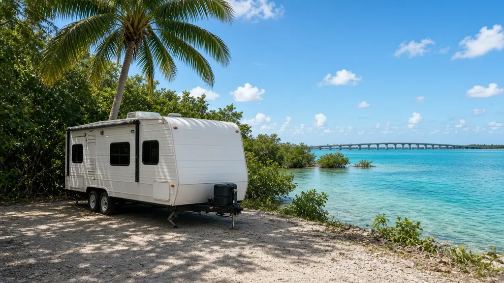
Key Largo is the first big key you reach on the Overseas Highway, around mile marker 106 to 91. John Pennekamp Coral Reef State Park has a campground here. Farther down, Tavernier and Islamorada have more RV parks and campgrounds, many right on the water.
Where we work
John Pennekamp and RV parks on Key Largo. Campgrounds in Tavernier and Islamorada. Pull-offs along US 1, when it is safe. Give us your mile marker and if you're bayside or oceanside.
What we see here
Waterfront corrosion. Many sites are right on the water. Terminals corrode fast.
Shore power and old converters. Long stays plugged in can overcharge flooded batteries. AGM or lithium often make sense.
Weekend traffic on US 1 between the mainland and the Upper Keys.
Key Largo campgrounds
John Pennekamp Coral Reef State Park, at about mile marker 102.5, has a campground and is one of the most popular stops in the Upper Keys. There are also private RV parks on Key Largo, Tavernier and Islamorada, some on the water.
The 18-mile stretch
The drive from Florida City to Key Largo on US 1 is known as the 18-mile stretch. It is a divided highway now, but there is still nowhere to pull in for parts. Card Sound Road is the other way onto Key Largo, with a toll bridge. If your RV won't start in Key Largo, it is better to fix it there than to limp back toward the mainland.
Salt, sun and humidity
Everything on Key Largo is close to salt water. Terminals corrode, battery boxes rust, and corrosion makes good batteries look bad. We test before we replace. Sometimes the fix is a cleaned and tightened connection, not a new battery. See why RV batteries keep dying.
Nearby
Homestead back on the mainland, Marathon farther down the Keys.
Key Largo on the map
Map of Key Largo and nearby city pages
Outline: the State of Florida, our whole service area. Pins mark places with their own page, not offices. Map data © OpenStreetMap contributors; state boundary from U.S. Census Bureau data.