
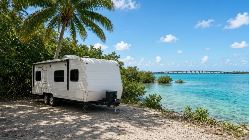
Marathon is the center of the Middle Keys, roughly mile markers 60 to 47. Curry Hammock State Park, just east of town, has a campground on the ocean side. The Seven Mile Bridge starts at the west end of Marathon and runs to the Lower Keys.
Where we work
Curry Hammock State Park and RV parks around Marathon, Grassy Key and Duck Key. And US 1 through the Middle Keys.
What we see here
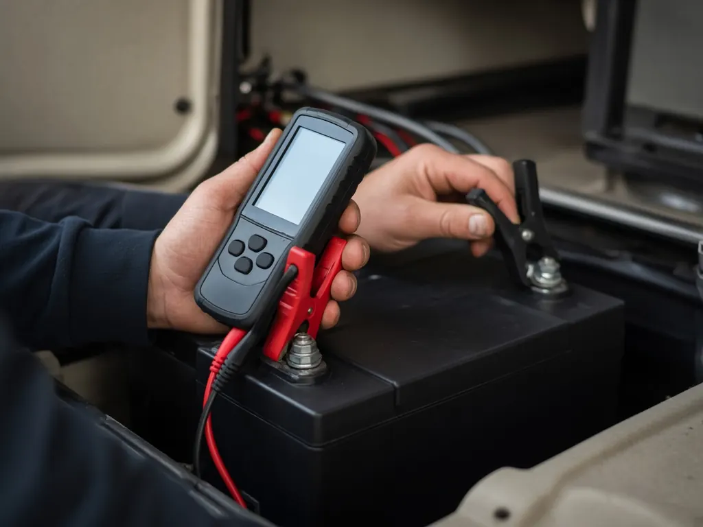
Bridge stress. Nobody wants a no-start before the Seven Mile Bridge. If your chassis battery is slow to crank, get it tested before you cross.
Salt and heat all year.
Long stays. Many winter visitors stay weeks at a time.
The Middle Keys
Marathon sits in the Middle Keys, roughly between mile marker 47 and 60. The Seven Mile Bridge runs west from Marathon toward the Lower Keys. Curry Hammock State Park, just east of Marathon, has an oceanfront campground. Long Key State Park, a bit farther up at about mile marker 67, also has camping.
What makes the Keys different
There is one road in and out, US 1. A battery that fails here can't be driven to a store an hour away. Everything is close to salt water, so corrosion on terminals and cable ends is constant. And summer heat is relentless. We clean and protect every connection we touch.
Give us a mile marker
In the Keys, addresses are given by mile marker, plus oceanside or bayside. That is the fastest way for us to find you. If you're on the side of US 1, pull completely off the road and turn on your hazards. See the Overseas Highway page.
Storm season
Monroe County usually orders visitors out first when a hurricane threatens. RVs need to be ready to roll on short notice. Healthy chassis and house batteries are part of that plan.
Nearby
Key Largo to the northeast, Key West to the southwest.
Marathon on the map
Map of Marathon and nearby city pages
Outline: the State of Florida, our whole service area. Pins mark places with their own page, not offices. Map data © OpenStreetMap contributors; state boundary from U.S. Census Bureau data.